Flash Alerts
FlashAlerts.fyi was created as a public service for rainfall related flash-flooding and mudslide probability notification. It was developed and is being continuously improved by Eshaan Sharma, a junior at Santa Clara High School in Santa Clara, CA.
FlashAlerts uses a three part system as described below:
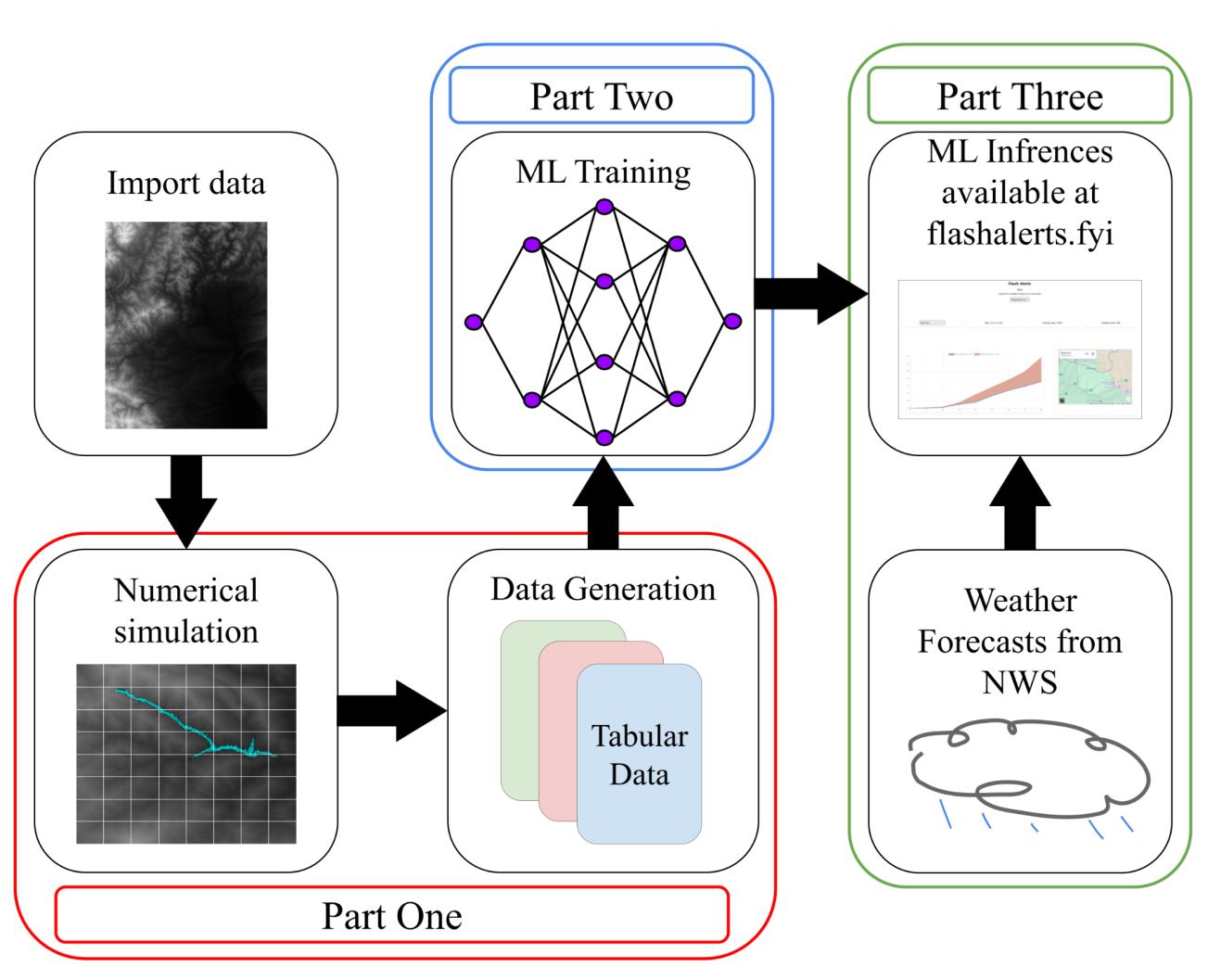
FlashAlerts obtains satellite elevation data from the United States Geological Survey (USGS) for an area of interest and simulates water flow and soil-infiltration over a range of possible rainfall conditions using a purpose built numerical fluid flow and soil absorption solver. Below are some animations of test simulations computed on synthetic and real world elevation models, using the solver.
The data generated by the simulator is used to train Machine-Inference models to predict flooding and mudslide outcomes.
This website then obtains current (and post 6 hour, and post 12 hour) forecast models for the region of interest from the National Weather Service (NWS). The forecast is then used to infer the flood progression (water height, time to potential flash-flooding and time to probable mudslide) from the ML models